Nov 2018 FSO
November 3, 2018
9:45 AM - 1:45 PM
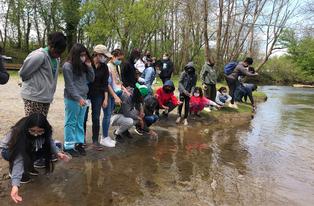
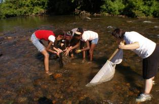
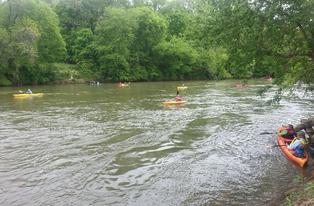
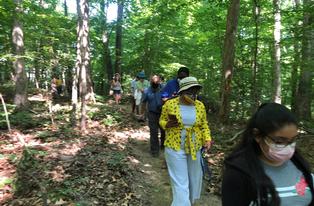
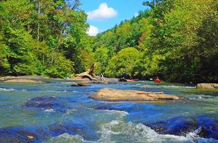
Dr. Will Truslow, avid outdoorsman and past president of the Dan River Basin Association, will coordinate DRBA’s First Saturday Outing November 3—a 2.5-mile hike beside the Mayo River. Truslow, who often runs the Mayo River in his kayak, will meet hikers at 10:00 a.m. under Anglin Mill Bridge (GPS 36.5345, -79.9901), about 0.3 mile upstream from Mayo Beach, not far from the famous “Boiling Hole.”
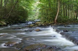
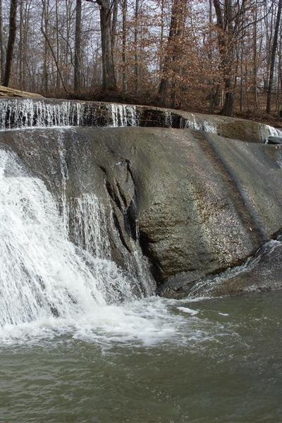
From the meeting place, participants will walk north along the Mayo River to Fall Creek. They will turn upstream beside the creek to a crossing on large rocks about one-fourth mile below the 50-foot wide, 18-foot-high waterfall that gives the creek its name. Now on the north side of the creek, hikers will proceed downstream along Fall Creek back to the river’s edge. They will continue north along the Mayo to a place where the North Mayo and South Mayo rivers meet near the state line.
Crossing from North Carolina into Virginia, the hikers will arrive at the literal “high point” of the outing: “Byrd’s Rock” or “Byrd’s Ledge.” Here William Byrd, leader of the survey party that established the border between Virginia and Carolina in 1728, viewed his crossing and camping place on the west side of the North Mayo River. In keeping with the survey party’s experience, DRBA participants will take their lunch break at Byrd’s Ledge.
Hikers will then retrace their steps to the meeting place, again crossing Fall Creek on large rocks.
Truslow comments, "This is a flat hike that goes right beside the Mayo River and is just beautiful. Seeing the massive rock formation of the Falls is the highlight of the hike and is very impressive. It's hard to imagine an 18-foot waterfall in Rockingham County."
Thanks to efforts by DRBA, much of the path, as well as the Fall Creek waterfall, are included in North Carolina’s Mayo River State Park. The property on both sides of the state line is protected by inclusion in the two developing Mayo River State parks, one in North Carolina and an adjacent one in Virginia. In addition, the North Mayo and South Mayo rivers are recognized as Virginia Scenic Rivers for several miles upstream from their confluence.
To reach the trailhead under Anglin Mill Bridge, exit US 220, turning west on Smith Road (SR 1360), winding four miles to a T-intersection with Anglin Mill Road (SR 1358). Turn left on Anglin Mill Road and travel about a half-mile to within less than a mile of the bridge across the Mayo River. Turn left on unpaved Anglin Loop Road (SR 1385). This road will be not far past DeShazo Mill Road and the fire station.
At the river, turn right on Mayo Beach Road (SR 1359), following the river upstream past the Boiling Hole to a parking area beside the Anglin Mill Bridge.
Participants are asked to bring a walking stick, lunch and water, to wear stout boots and layered clothing, and to sign a waiver.
Meetings and outings of the Dan River Basin Association are free and open to the public. For information about the outing, contact Will Truslow at 336-547-1903 or willtruslow@hotmail.com. For information about the Dan River Basin Association visit www.danriver.org.