
General Info
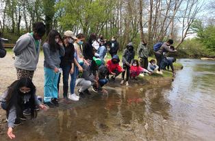
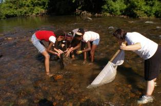
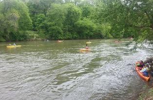
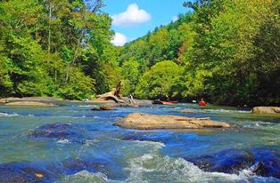
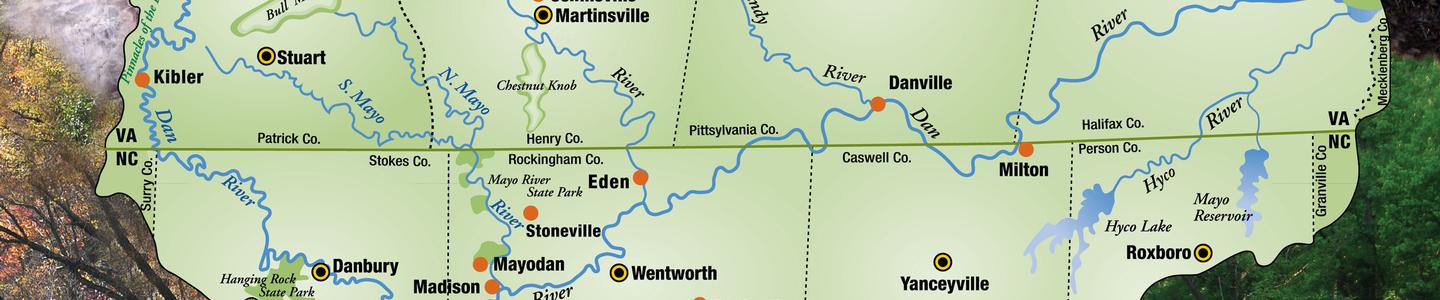
The Dan River crosses the North Carolina-Virginia state line eight times on its way from the Blue Ridge Mountains to John H. Kerr Reservoir. The 3300-square-mile Dan River Basin comprises approximately one-third of the Roanoke River Basin. Major tributaries of the Dan River are the Mayo, Smith, Sandy, Banister, and Hyco rivers.
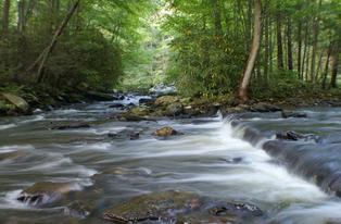
The Dan River flows 214 miles (344 km). Its headwaters are in Patrick County, Virginia, and crosses the state border into Stokes County, North Carolina. It then flows into Rockingham County, NC. From there it goes back into Danville, Virginia. It reenters North Carolina near the border between Caswell County and Rockingham County. It flows into northern Caswell County and then back into Southern Virginia and finally into Kerr Reservoir on the Roanoke River.
The Dan River Basin includes all or most of eight counties/cities: Patrick, Martinsville/Henry, Pittsylvania, Danville and Halifax in Virginia, and Stokes, Rockingham, Caswell and Person in North Carolina. Smaller portions of eight more counties lie in the Dan River Basin: Floyd, Franklin, and Mecklenburg in Virginia, and Surry, Forsyth, Guilford, Orange, and Granville in North Carolina.
The name of the river was first recorded by William Byrd II in 1728, during an expedition to survey the Virginia border, though Byrd did not explain the reason for the name.
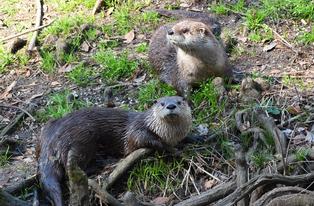
The Dan River Basin area was home to many Indigenous tribes, notably the Sappony. The Sappony settlements of Upper and Lower Sawra/Cheraw were in what was mapped in 1749 as Anson County, North Carolina (modern-day Stokes and Rockingham Counties). Additionally, throughout the centuries, the Sappony traveled and settled widely throughout the entire river basin, including many locations in what were mapped in 1749 as Lunenburg and Brunswick Counties in Virginia and Granville County in North Carolina (modern-day Patrick, Henry, Halifax Counties in Virginia and Caswell and Person Counties, North Carolina). Living along the Staunton (originally the Sappony River) and Nottoway Rivers and tributaries of the Dan River, such as the Sandy River, Flat Rock Creek, Blue Wing Creek, and the Hyco-o-tee River afforded tribes access to food, transportation, and trade.
The Sappony were state-recognized by Virginia in 1913 and North Carolina in 1911. Today, their homelands are in the High Plains Settlement along the border between Person County, North Carolina and Halifax County, Virginia, which they settled before state lines were drawn, and in fact, helped draw that very boundary line in 1728 when Sappony Ned Bearskin led William Byrd’s surveying party through the region.
The Dan River Basin includes all or most of eight counties: Patrick, Henry, Pittsylvania, and Halifax in Virginia, and Stokes, Rockingham, Caswell and Person in North Carolina. Smaller portions of eight more counties lie in the Dan River Basin: Floyd, Franklin, and Mecklenburg in Virginia, and Surry, Forsyth, Guilford, Orange, and Granville in North Carolina.