Nov FSO - Hike @ Future VA Mayo River State Park
November 5, 2022
5:00 AM - 9:00 AM
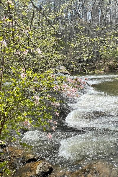
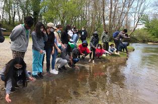
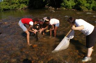
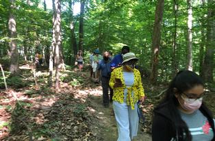
DRBA will hike at the future Virginia Mayo River State Park for a moderate 4.5- mile hike. Coordinator for the trip is Wayne Kirkpatrick, DRBA Board member and experienced hiker. The natural surface trail is a mix of meadows, deciduous woods and pines. Participants in the outing are asked to bring lunch and water, to dress for the weather and to sign a waiver.
Directions – GPS for the trail head parking lot – 36.561463, -80.006777. GOOGLE MAPS LINK From Stuart, take Rt. 58 East, turn right onto Penn Store Rd., turn right onto George Taylor Rd., turn left onto Moores Mill Rd., turn right onto Pratt Rd., the parking lot is on the right just before the end of state maintenance. From Martinsville, take Rt. 58 West, turn left onto George Taylor Rd., turn left onto Moores Mill Rd., turn right onto Pratt Rd., the parking lot is on the right just before the end of state maintenance.
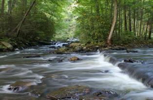
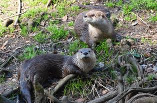
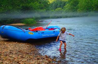
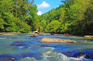
The property’s development was accomplished through a partnership between the Virginia Department of Conservation and Recreation, the Dan River Basin Association (DRBA) and the region’s Eco Ambassadors Council (EAC). Virginia’s future Mayo River State Park is located in southwestern Henry County near the Virginia-North Carolina border. The commonwealth has acquired a total of 637 acres of land between the North Mayo River and the South Mayo River, which converge just south of the state line in North Carolina. The new addition to the Virginia State Parks system is intended to complement the park built around the Mayo River in North Carolina, also called Mayo River State Park. In addition to Indian village sites dating back to 1000-1450, the remote, scenic area boasts a rich history. Surveyor William Byrd, who in October 1728 camped near the North Mayo River near the state border, wrote about its beauty. The river was named after William Mayo, a surveyor in Byrd’s party. In 2008, a 7.1-mile portion of the North Mayo River between Route 695 and the state border, and the 6.9 miles of the South Mayo River from the Patrick County line to the state border were both designated as Virginia Scenic Rivers. In future years, a master planning process will provide guidance for the park’s development and management.
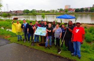
The EAC, a coalition of business leaders from the local region, provided $18,000 to develop the newly opened trails. Since forming in 2020, the organization has brought together resources and shared actions for the benefit of communities, stakeholders, the environment and the economy throughout the Dan River Basin.
BE SAFE OUTDOORS!
For more information about the outing, contact Trip Coordinator, Wayne Kirkpatrick, wynbtyk@embarqmail.com
Outings and meetings of the Dan River Basin Association are open to the public without charge. For more information, see www.danriver.org.