
Historic High Rock River Access & Trail Ribbon Cutting
April 27, 2019
6:00 AM - 7:00 AM
Join us for a very special Ribbon Cutting!
Historic High Rock River Access & Trail
Saturday. April 27, 2019 @ 10:00am
1078 High Rock Road, Gibsonville, NC (GPS 36.2514, -79.5643)
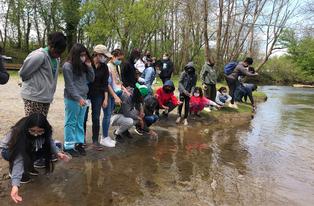
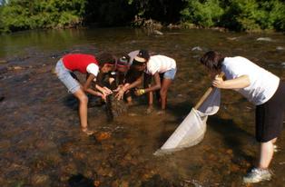
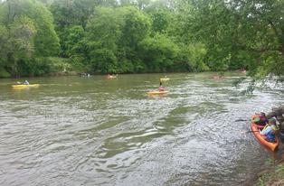
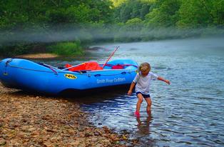
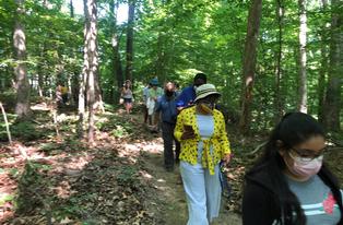
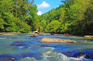
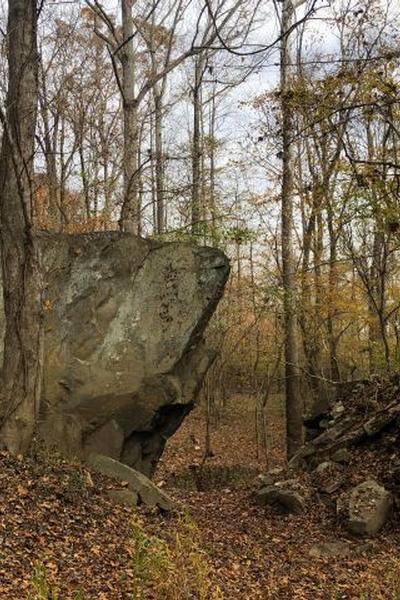
Named for its large rock outcropping, the historic property is owned by the Museum and Archives of Rockingham County (MARC), The partnership between MARC and DRBA created a public trail and water access on this 20-acre site, where the ford was an important crossing of the upper Haw River. The new river access is the furthest upstream boating access point on the Haw River Trail, which extends over 70 miles downriver through the Piedmont to Jordan Lake State Recreation Area.
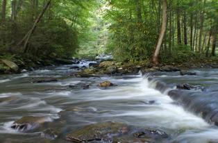
Now a peaceful wooded area beside the river, High Rock Ford provided an ideal location for Aaron Pinson’s gristmill, built in 1753, that became a busy hub where travelers, farmers, and armies gathered. In 1771 Governor Tryon required the mill to supply cornmeal to his army, which camped at High Rock Ford during the War of the Regulation. Ten years later the mill supplied General Nathanael Greene’s army when they used the ford as a staging area for the Battle of Guilford Courthouse, a crucial battle in the American Revolution.
According to North Carolina historian Dr. Lindley Butler, “From High Rock Ford, a gathering place for the American army in March, 1781, thousands of patriots marched into battle at Guilford Courthouse, the culmination of General Greene’s military campaign that led to victory in the American Revolution and the founding of our nation.”
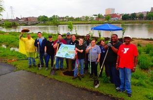
Waynick, Operations Manager of the MARC, who has helped to coordinate the site’s development, comments, “It has been a goal of the Rockingham County Historical Society and its current incarnation as the Museum & Archives of Rockingham County to see this site opened to the public. A partnership with DRBA and our generous donor organizations has allowed us to not only open the site but to open it as a historic park. High Rock Ford Historic Site includes a parking lot, river access, trail, and historic storyboards.”
Participants are asked to dress for the weather and wear layered clothing and hiking boots or shoes,
Directions: From the north, follow US 29-S to Exit 149. At top of ramp, turn left onto NC 87-S toward Burlington, and drive 0.9 mile. Turn right to stay on NC 87-S, and drive 2.9 miles. Bear slight right onto Gilliam Road, and drive 2.9 miles. Turn right onto High Rock Road, and drive 1 mile to the destination. Park along roadside if lot is full.
From the south, follow US 29-N to the NC 150 exit toward Brown Summit. At end of ramp, turn left onto McLeansville Road, then turn right onto NC 150-E. Drive 4.4 miles. Continue straight onto Osceola Ossipee Road for 1 mile. Turn left onto Brann Road and drive 2.4 miles. Turn left onto High Rock Road, and drive 0.8 mile to the destination. Park along roadside if lot is full.