Paddle the Dan River in Madison, NC!
August 1, 2026
9:00 AM - 1:00 PM
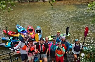
Please join us on Saturday, August 1, 2026, for a 4.5-mile paddle on the Dan River from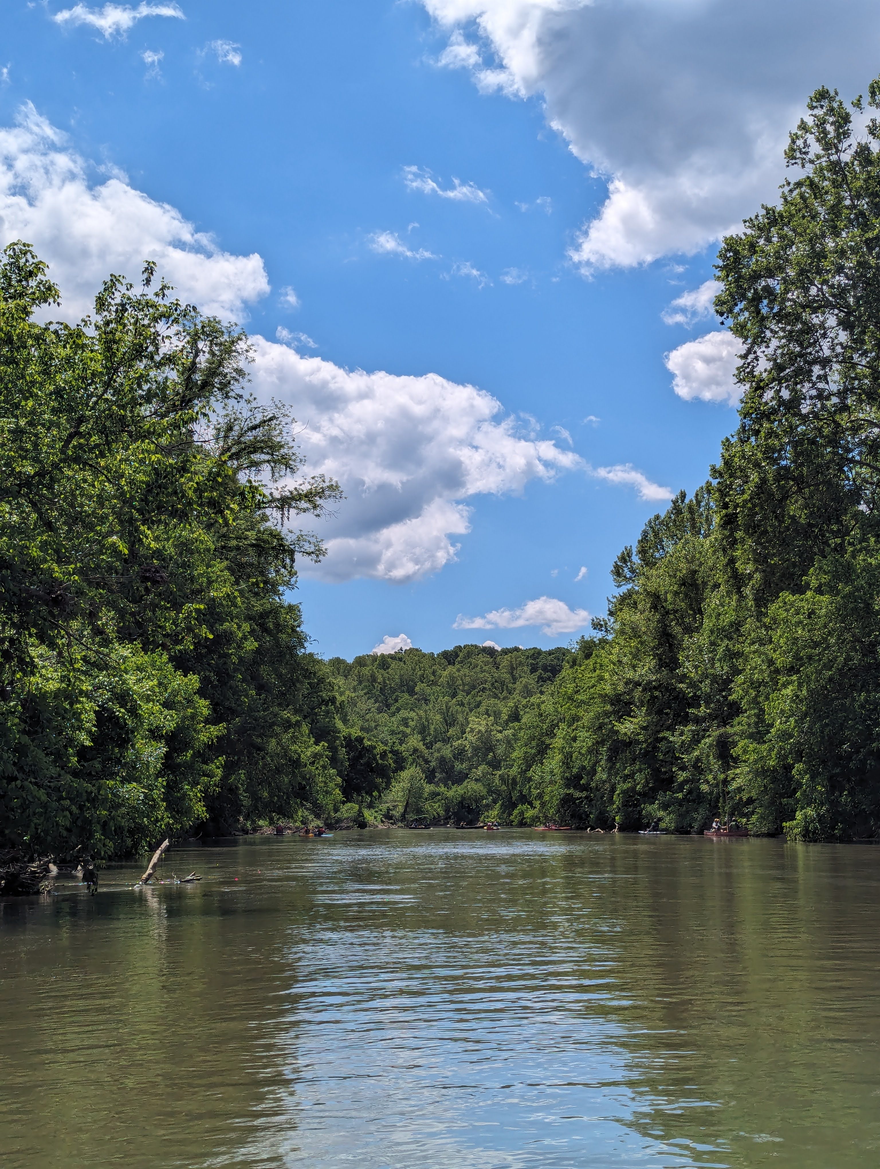
the new Downtown Madison River Park/Water Street River access to the Jacobs Creek Batteau Landing access.
Participants will meet at the put-in by 9:00 a.m. to unload boats and set the shuttle. This paddle is suitable for most skill levels with some Class I rapids. Outings and meetings of
the Dan River Basin Association (DRBA) are open to the public without charge.
Participants must supply their own boat, paddles, life jackets, water, and lunch. Please wear water-shedding artificial fabric or wool (cotton or denim is not recommended); we also recommend a towel and a back-up change of clothing for the ride home. In order to participate with the DRBA group on this outing, all participants will be required to sign a waiver. Access points may involve steps or steep climbs.
*Rentals are available from MadTown Tubing through their website: MadTowntubing.com where you can reserve the 9 am slot. Kayaks will be picked up at the takeout location.
Trip highlights:
About 0.4 miles downstream from the new put-in, the Mayo River flows in from
river left. The river was named by William Byrd in honor of William Mayo, an
English-born surveyor who assisted Byrd in mapping the boundary between
Virginia and North Carolina.
Roughly half a mile later, the river passes beneath U.S. Highway 220. From this
point all the way to the take-out, no bridges, roads, or buildings are visible,
offering a peaceful, uninterrupted natural experience.
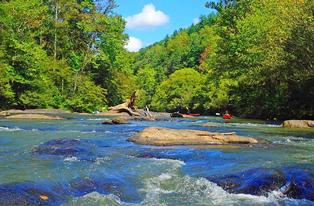
Not far past the U.S. 220 highway bridge is an 800-foot rapid called Slink Shoals
Sluice. It features four pairs of historic wing dams originally built in the 1820s and
later repaired by the U.S. Army Corps of Engineers in the 1880s. These
structures helped channel water for the 40-foot bateaux that carried agricultural
products and supplies up and down the river. They remain some of the most
outstanding surviving remnants of the Dan River Navigation Company, alongside
ancient Native American fish traps.
PUT-IN: Water Street Access, Madison, NC. The put-in is located at Water Street
Access,
S. Water Street, Madison, NC 27025
GPS Coordinates: (36.3810120, -79.9560420).
Directions: From the intersection of U.S. Hwy 220 and NC Hwy 704 near Smart
Chevrolet, head west on NC Hwy 704 / US 311 (towards Mayodan) for about 1.4 miles.
Turn right onto S. Market St. for 0.2 miles, turn right onto E. Murphy St. for 0.2 miles,
turn right onto S. Water St for 0.25 miles, the access is on your left under the bridge.
TAKE-OUT: Jacobs Creek Batteau Landing. The take-out is located at 558 Planters
Road, Madison, NC 27025 (GPS Coordinates: 36.389346, -79.888302). Directions:
From the intersection of U.S. Hwy 220 and NC Hwy 704 near Smart Chevrolet, travel
east on NC Hwy 704 for 2.8 miles, then turn left onto Planters Road. Travel 0.7 miles
north on Planters Road; the river access will be on your left.
For more information, contact the outing coordinator Will Truslow by email at:
willtruslow@hotmail.com or Chris Adcock at lump_vt@yahoo.com.
NOTE: If for any reason the event needs to be cancelled, visit www.danriver.org or our
Facebook page by Friday, July 31, 2026, for additional information.