
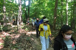
River Watch Monitors
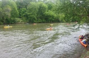
Whether walking along a neighborhood stream or boating local rivers, River Watch Monitors can assess water quality, document potential pollution sources, and report river patterns and wildlife sightings. River Watch Monitors do not need formal training, you can get started today!
REPORT A THREAT TO OUR WATERWAY - RIVER WATCH MONITOR FORM
Visual Stream Assessment
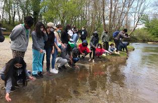
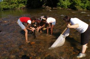
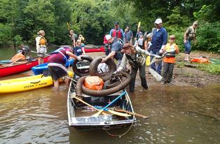
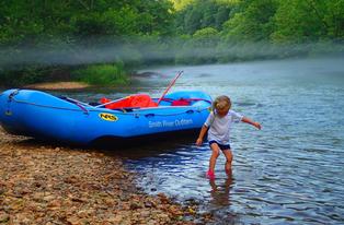
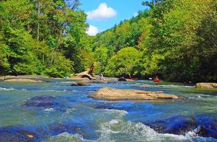
River Watch Monitors conduct a visual stream assessment or “stream walk” to evaluate a waterway’s health by assessing the physical habitat and potential impacts. A stream walk may be done on foot or by using a boat or canoe. Conducting a stream walk can produce valuable information about our local waterways. River Watch volunteers may notice litter, farm animals, or a broken pipe leaking harmful liquids in or near a stream or river which can cause damage to our drinking water.
What kinds of threats are you looking for?
You can report unusual river conditions such as foamy or unusual colored water, unusual or bad smells, dead fish or aquatic life, litter or illegal dumps, discharges from pipes or drains that are not normal (does it smell, or have a strange color or consistency), large areas of erosion due to tree cutting and any other potential threats that can negatively impact our rivers and streams.
What to do if you find a threat?
If you observe a problem or potential issue along one of our streams or rivers, you can report the location and what you observed directly to the Dan River Basin Association. REPORT A THREAT TO OUR WATERWAY - RIVER WATCH MONITOR FORM
You will need to provide certain basic information including :
- Your name and phone number/email.
- Location (street address, GPS if known, nearest landmarks, river access points etc.). The more information you provide about the location, the faster we are able to address the potential threat or problem.
- Provide detailed description of what you observed. Report what you see, the date, time, river conditions (was it muddy and flooding, or was it clear and normal levels).
- Provide photographic evidence if possible.
Riparian Buffer Assessment
Streamside trees and vegetated areas (riparian buffer) adjacent to a creek or river provide multiple benefits to water quality and habitat. DRBA is collecting data on the quality and quantity of riparian buffers along major waterways in our watershed. There are hundreds of miles of river banks and we can’t do this assessment without volunteers. The riparian buffer mapping project can provide state and local governments with information to make good decisions on protecting our rivers and streams. Learn more about how to assess riparian buffer and get involved in this project.