Close
Join & Donate
DONATE TODAY
Stewardship Fund
EE Fund
DRBA Sustainer
The Butler Legacy Fund
For Business
River Legacy Circle
Municipal Membership
In-Kind Gifts
Take Action
VOLUNTEER
Storm Drain Marking
Art & Nature
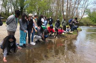
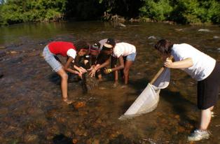
Water Monitoring
DRBA Race Series
Celebrate Earth Week
Clean Ups
The Floating Lotus
Shop
Shop Our Products
ST8 Crossings
Visit the DRB
Close
Environmental Education
For Educators
Trout In The Classroom
Agricultural
Webinars
For Community Partners
DRBA at Home
Recreation
Safety Paddle Classes
First Saturday Outings
Master Planning
Interactive Map
Build Trails/Access
Visit the DRB
Stewardship
Clean Ups
Storm Drain Project
Citizen Monitoring
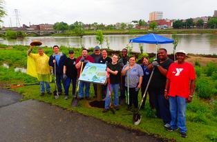
Riparian Buffer Project
Clean Water Pledge
Close
Our People
Contact
Internships
Staff Listing
Volunteers
Board of Directors
Employment
Our Story
History of DRBA
DRBA Stories
DRBA Now
Archives
Newsletter
DRBA Strategic Plan
Special Access
Board Member Info
Close
About Our Watershed
General Info
Map of Watershed
Threats & DRBA's Response
Trails and River Info
Be Safe Outdoors
Water Quality
River Info
Visit the DRB
Interactive Map
Other Resources
SOVA Blueways Plan
Watershed Planning
Partners
Archives
DRBA Strategic Plan
News
Menu
Support DRBA
Join & Donate
DONATE TODAY
Stewardship Fund
EE Fund
DRBA Sustainer
The Butler Legacy Fund
For Business
River Legacy Circle
Municipal Membership
In-Kind Gifts
Take Action
VOLUNTEER
Storm Drain Marking
Art & Nature
Water Monitoring
DRBA Race Series
Celebrate Earth Week
Clean Ups
The Floating Lotus
Shop
Shop Our Products
ST8 Crossings
Visit the DRB
Programs
Environmental Education
For Educators
Trout In The Classroom
Agricultural
Webinars
For Community Partners
DRBA at Home
Recreation
Safety Paddle Classes
First Saturday Outings
Master Planning
Interactive Map
Build Trails/Access
Visit the DRB
Stewardship
Clean Ups
Storm Drain Project
Citizen Monitoring
Riparian Buffer Project
Clean Water Pledge
About DRBA
Our People
Contact
Internships
Staff Listing
Volunteers
Board of Directors
Employment
Our Story
History of DRBA
DRBA Stories
DRBA Now
Archives
Newsletter
DRBA Strategic Plan
Special Access
Board Member Info
Our Watershed
About Our Watershed
General Info
Map of Watershed
Threats & DRBA's Response
Trails and River Info
Be Safe Outdoors
Water Quality
River Info
Visit the DRB
Interactive Map
Other Resources
SOVA Blueways Plan
Watershed Planning
Partners
Archives
DRBA Strategic Plan
News
EVENTS
DRBA Holiday- Offices Closed
Friday, June 19
Learn More
DRBA Holiday- Offices Closed
Friday, July 3
Learn More
VIEW ALL
Home
Page Not Found
The page you are looking for has either moved or doesn't exist.